AEGIS: geospatial intelligence from drone footage in GNSS-denied environments
AEGISGeospatial Intelligence Platform
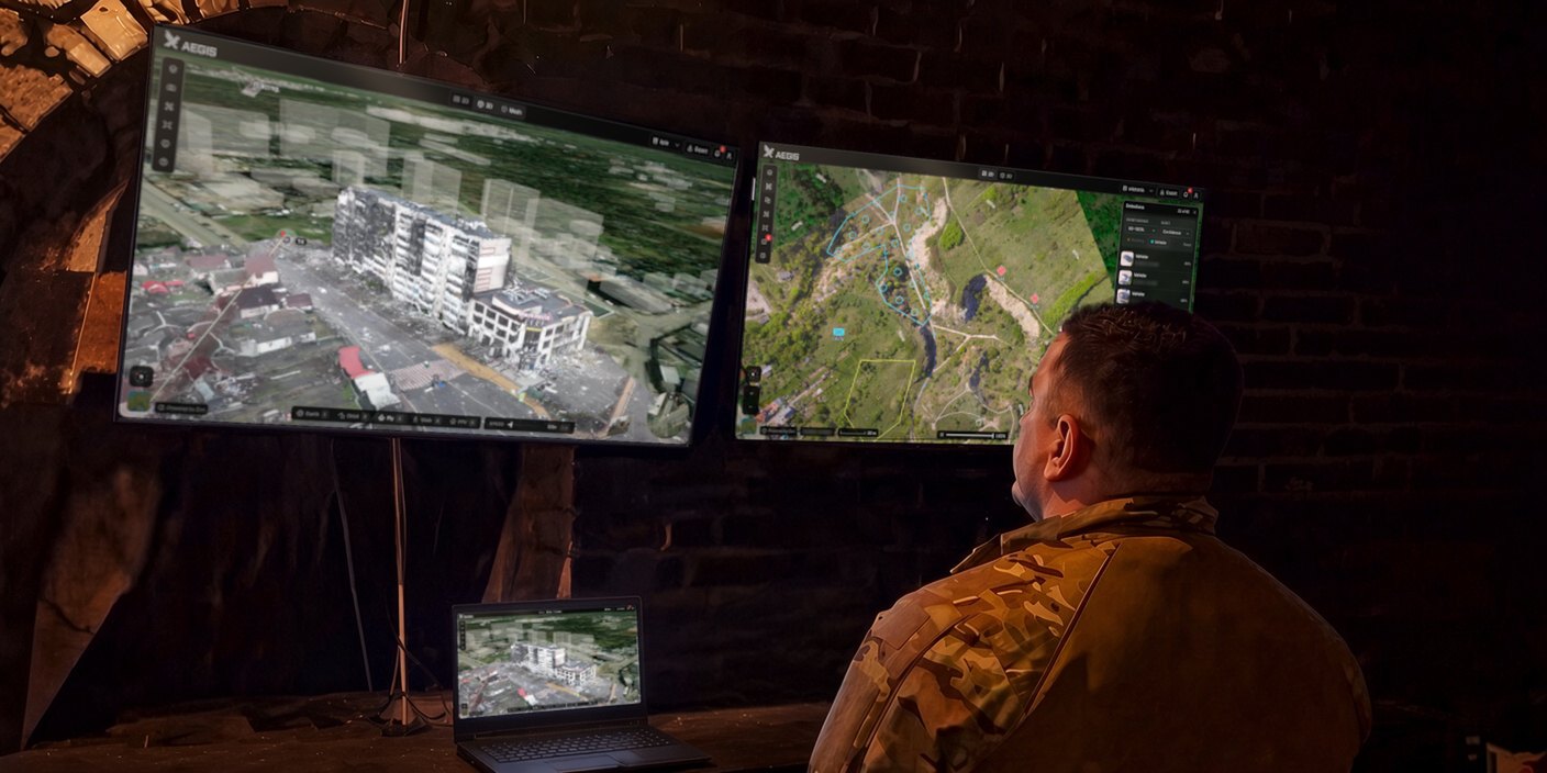
AEGIS turns drone footage into a digital twin of the ground, even in GNSS-denied environments.
Upload photos or video from any drone. AEGIS processes the footage and gives the team a 3D model and a 2D map of the ground to work from. Both can be georeferenced and placed on the real map.
Features
- 3D models and maps
- Photo localization
- AI object detection
- Compare captures
- FPV rehearsal
- Mission planning
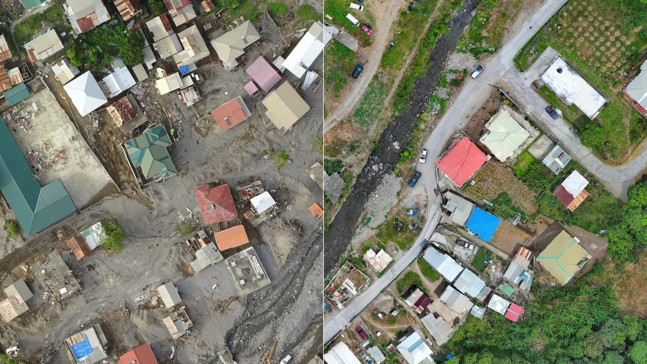
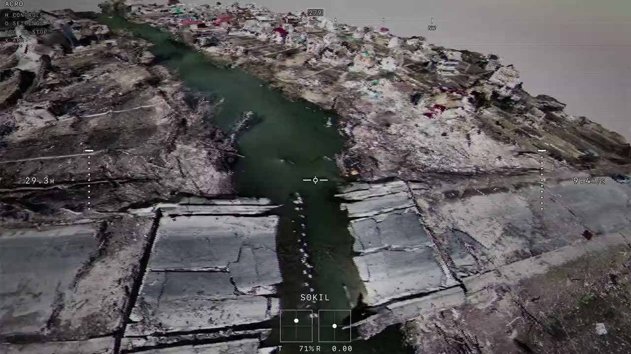
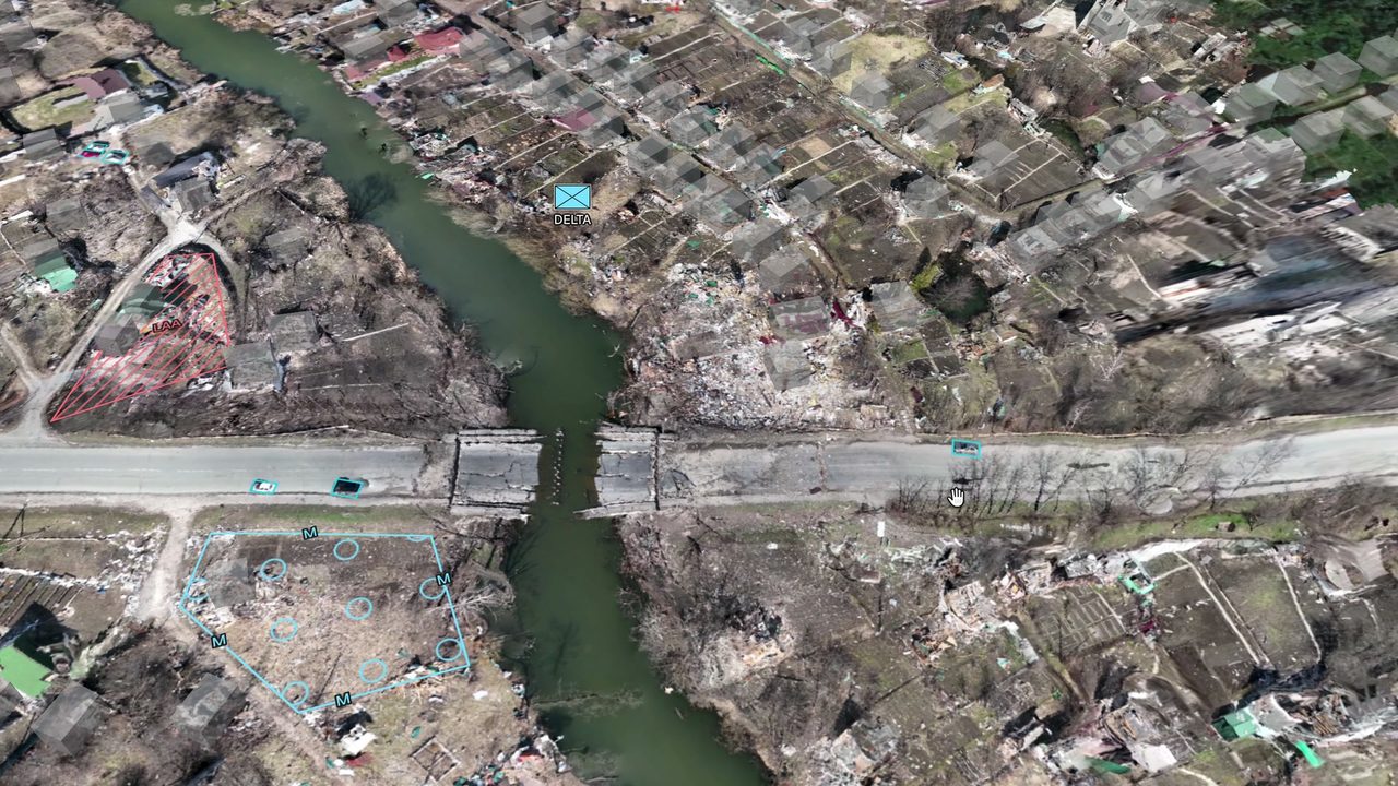
3D models and maps
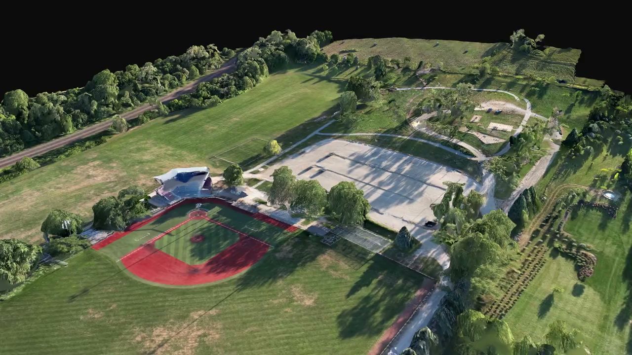
In GNSS-denied environments, drone footage arrives with no position attached. AEGIS still turns it into a 3D model and a 2D map of the ground that you can place at their real coordinates.
Photo localization
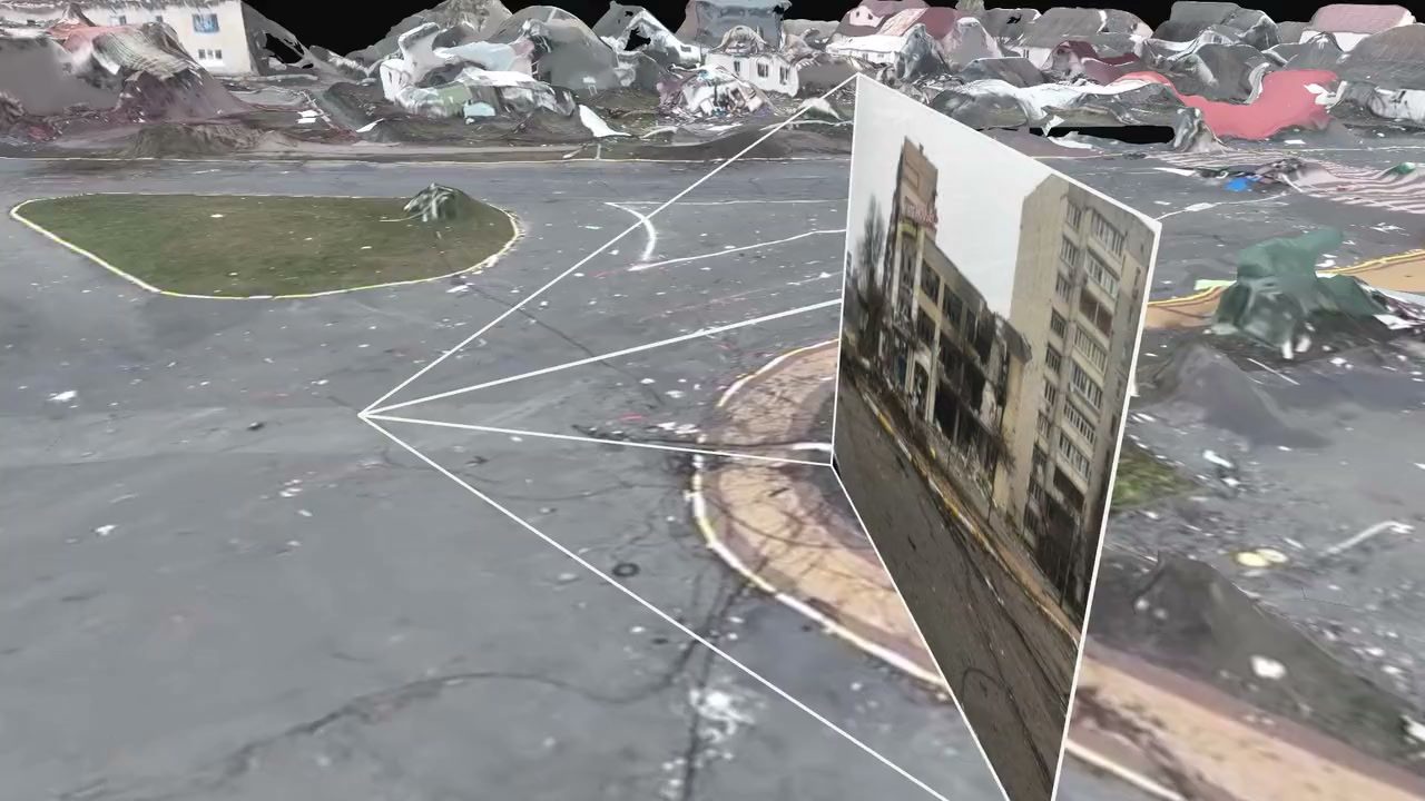
Upload a photo or a video frame from a drone, from a phone or from OSINT. AEGIS finds the exact position it was taken from and which way the camera was pointing, even when the file has no EXIF data.
AI object detection
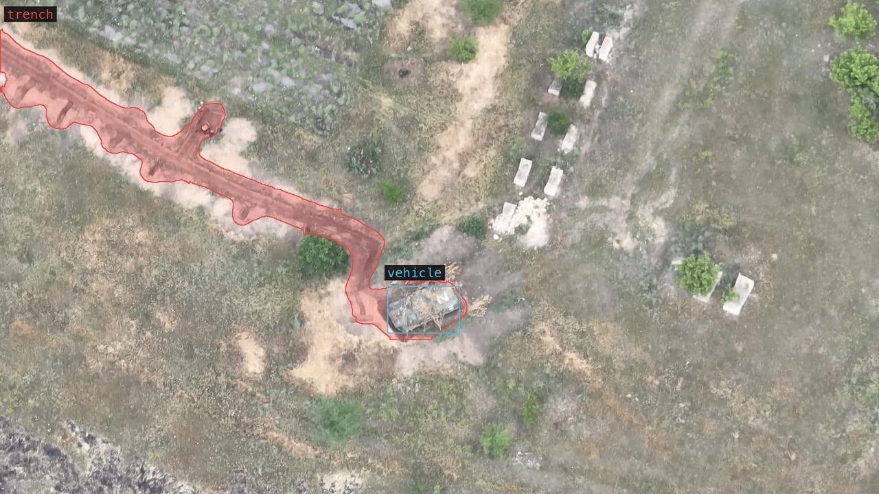
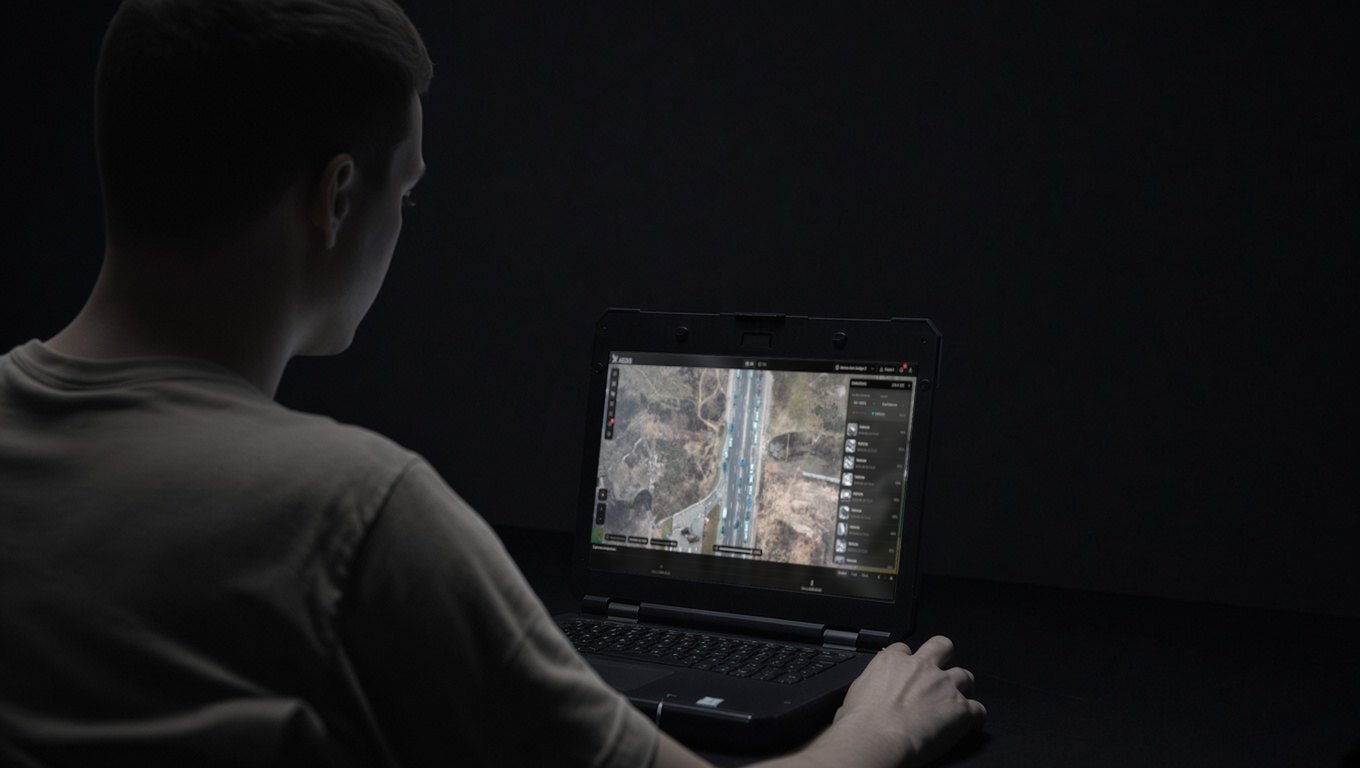
AI scans the whole area as soon as a flight is processed and marks the objects that matter on the map.
Compare captures
Fly the same ground again and see what changed: new positions, moved vehicles, fresh tracks across a field.
FPV rehearsal
Pilots can fly an FPV mission inside the 3D model of the area before they fly it for real, with their own radio controller or a VR headset. They learn the tree lines, the gaps between buildings and the final approach in the simulator.
Mission planning
- Visibility analysis from any position
- Radio link planning over the terrain, with the mast heights it needs
- Route planning around known threats
- Elevation profiles along any line
- 3D measurement of distances, areas, heights and bearings
- Shared notes and control measures on the map
- Eye-level walk-through of the 3D model
Request access
AEGIS is in a private, invite-only beta. We are opening it to a small number of teams, a few at a time. Tell us about your team and how you would use AEGIS.